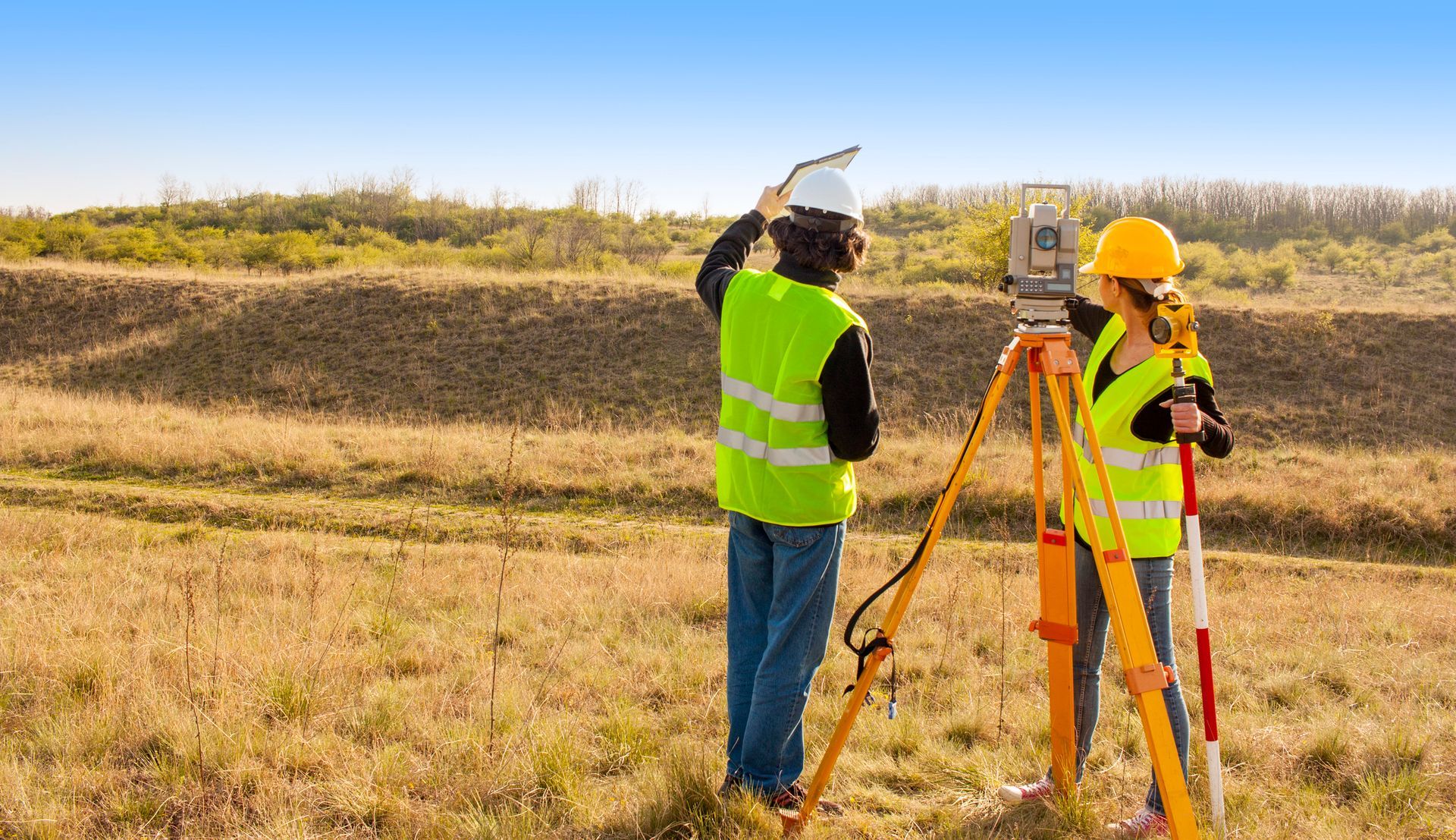
Land Surveying Services: ALTA Surveys and Elevation Certificates
At Simmer Land Surveying, we provide comprehensive land surveying services for residential and commercial properties. Whether you need a precise boundary survey, topographical map, or ALTA survey, our experienced team delivers accurate, reliable results to meet your needs. We are committed to offering high-quality surveying solutions tailored to your specific project requirements.
Construction Staking
Mark corners, property lines, stakeout buildings, wells, and just about anything needed for a building. The end result is to be used by a contractor or homeowner to build whatever they may have in mind and be sure that it meets any setback requirements and stays safe on the property.
Land Division
The end result is a certificate of survey showing the boundary of the property and the new divisions. All of the corners will be marked in the field and legal descriptions written for the new parcels.
ALTA Survey
An ALTA Survey is a comprehensive boundary survey that is performed to nationally recognized standards, as adopted by the American Land Title Association (ALTA) and the National Society of Professional Surveyors (NSPS). Considered the "gold standard," an ALTA Survey can provide a wealth of information including but not limited to parcel boundaries, improvements, easements, rights-of-way, encroachments, access, zoning, etc.
Elevation Certificate
When dealing with flood insurance, FEMA has a flood elevation certificate form. The form reports the elevation information about the property relative to a base flood and requires a surveyor's certificate for part of the information.
Boundary & Lot Surveys
We establish property boundaries and define lot lines through precise boundary and lot surveys. Our team measures and marks the corners of your property, delivering a detailed study for use in construction, legal matters, or property disputes. Whether buying, selling, or developing land, you're sure your property lines are clearly defined.
Construction Surveys
We provide construction surveys to accurately mark property lines, corners, and key structures like buildings and wells. Our team ensures contractors and homeowners have the precise measurements to build safely, meet setback requirements, and stay within property boundaries.
Mortgage Reports
We create mortgage reports that confirm property boundaries and provide clear legal descriptions for lenders. Our surveys validate property lines, helping streamline the mortgage process for real estate transactions, financing, and property assessments.
Land Development
We conduct land development surveys to prepare properties for construction. Our team provides detailed surveys, including topography, boundaries, and environmental features, helping architects and engineers design accurately. We also ensure the land meets local zoning and construction requirements before development begins.
Condominiums
We offer surveying services for condominiums, clearly defining boundaries for individual units and common areas. Our surveys provide the legal descriptions and floor plans for condo projects, ensuring compliance with zoning laws and property management standards.
Building & Setback Staking
We offer building and setback staking services to position structures according to property line regulations and local zoning laws. We mark the exact location of buildings, fences, and other structures, ensuring compliance with setback requirements and preventing costly construction errors.
Site Plans
We provide topographical surveys that map the land's physical features, including elevation changes, slopes, and natural elements. Our site maps give engineers, architects, and builders essential data for planning projects that fit the landscape and meet regulatory requirements.
Let Us Help With Your Surveying Needs!
Do you need precise land surveys for your residential or commercial project? Simmer Land Surveying in Mesick, MI. We offer expert services tailored to your needs. Our team is ready to provide reliable and accurate results to ensure your project is on the right path.
Call 231-429-4914 today to schedule a consultation!

